Cape Horn #
Cape Horn
Kap Horn, Chile
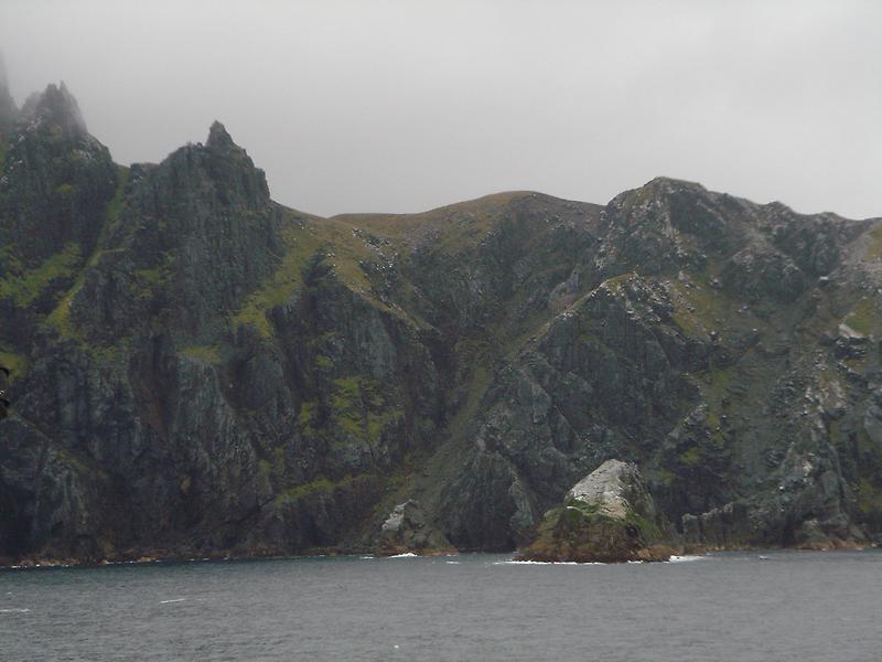
, a Chilean headland, is, aside from the Diego Ramírez Islands and the South Sandwich Islands (which are sometimes added to South America), the southernmost point of South America. The route around Cape Horn was over the course of three centuries one of the most important shipping routes between Europe and the west coast of the USA. In 1616 the Cape was described for the first time by the Dutch mariner Willem Cornelisz Schouten. Sometimes you hear that Francis Drake was the first one to sight the Cape in 1578 and give it the name of Kap Elisabeth. However, this claim was made in 1618, over twenty years after the death of Drake, with a total disregard to his records and the testimonies of the crew, which differ from the actual circumstances. In 1914 the Panama Canal was opened and the shipping lane around Cape Horn lost its significance.
Kap Hoorn
Kap Horn, Chile
, eine chilenische Landspitze, ist abgesehen von den Diego-Ramírez-Inseln und den Südsandwichinseln (werden manchmal zu Südamerika gezählt) der südlichste Punkt von Südamerika. Über drei Jahrhunderte lang war die Schifffahrtsroute um Kap Hoorn eine der wichtigsten auf dem Weg von Europa zur Westküste der USA. Das Kap wurde erstmals 1616 von dem niederländischen Seefahrer Willem Cornelisz Schouten beschrieben. Manchmal hört man die Behauptung, dass der Engländer Francis Drake das Kap im Jahr 1578 zum ersten Mal gesichtet hat und es Kap Elisabeth nannte. Allerdings wurde diese Behauptung erst 1618, also zwanzig Jahre nach seinem Tod, aufgestellt und das obwohl die Aufzeichnungen Drakes und Aussagen seiner Mannschaft von den tatsächlichen Gegebenheiten abweichen. Erst durch die Eröffnung des Panamakanals im Jahr 1914 verlor die Route um Kap Hoorn an Bedeutung.
