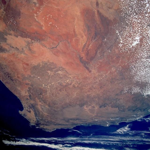
Satellite view (2)#

Image courtesy of NASA., under PD
Also distinguishable are the westward-flowing Orange River, south of the true desert; the cape ranges of folded mountains near the extreme southern point of South Africa; as well as Cape Town, the Cape of Good Hope, and Cape Agulhas.