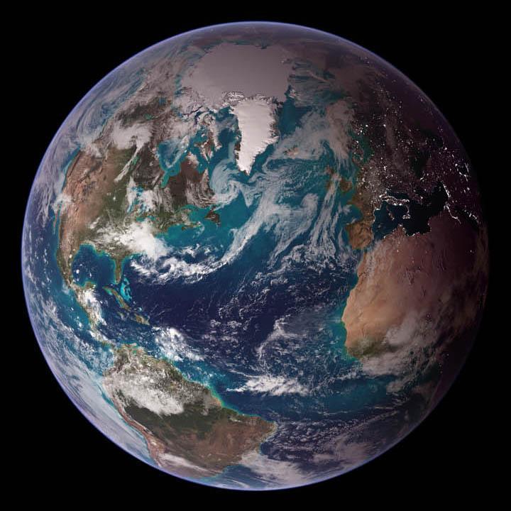
Satellite image of the globe #

Image courtesy of NASA., under PD
This "blue marble" image of the globe draws on data from multiple satellite missions (not all collected at the same time).
The focus in this view is the North Atlantic Ocean and its surrounding land masses. Notice the thick ice pack on Greenland (top center) and the city lights on the night side of the globe.