Faial and Pico#
Trip to the Azores, August/September 2016, Part 2#
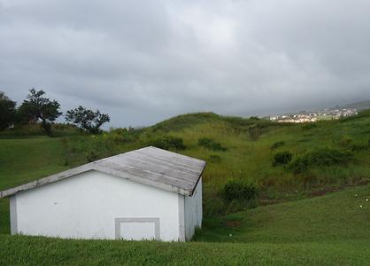
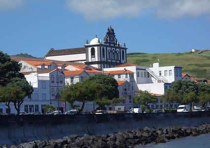
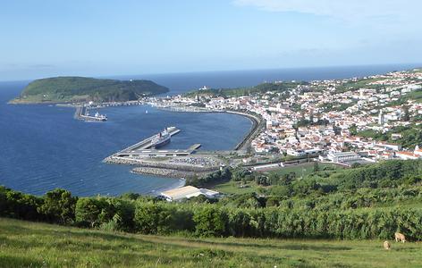
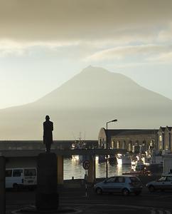
by H. MaurerFaial, with its nearest neighbours, Pico (only some 8 km from Faial) and São Jorge, forms an area commonly known as the Triangle Pico,Azores . The island is sometimes also called Blue Island because of the large quantity of hortensias (hydrangeas) that bloom during the summer months. Faial has an area of approximately 170 square kilometres. Despite its volcanic origin and even “recent” volcanic activity in the north-west in 1957 (mentioned already in Part 1 of this report) it has many gently rising slopes that are easy to cultivate, quite different from Pico that is often called the Black Island, for its black volcanic rubble, responsible for its UNESCO-designated historical vineyards that are difficult to cultivate. Yet Pico is the second largest island of the Azores and has a population of some 15.000 just a bit less than Faial.
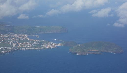
Photo: Hermann Maurer, 2016, under CC BY-SA 3.0
Photo: Hermann Maurer, 2016, under CC BY-SA 3.0
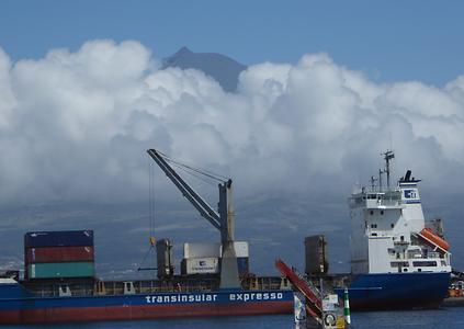
Photo: Hermann Maurer, 2016, under CC BY-SA 3.0
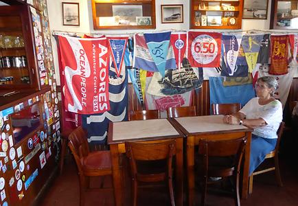
Pedro de Alvarado set up the Azores in 1536 as an obligatory port-of-call for the fleets of equatorial Africa and of the East and West Indies. Already in 1499 Vasco da Gama had set up Horta as a link between the New World and Europe. For yachts crossing from Europe to America or vice versa, Horta was and still is the obvious stop over. The famous “Peter Sports Cafe” was the place to hire personal, to get hints or new provisions, to deposit or fetch messages, etc. Its interior has still retained a bit of the flavour of those days. Every skipper of a Yacht stopping over in Horta is not only visiting Peter’s café, but is also leaving some painting on the harbour walls or walkways, making this a gallery of past and recent history as a few pictures below will show.
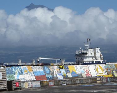
Photo: Hermann Maurer, 2016, under CC BY-SA 3.0
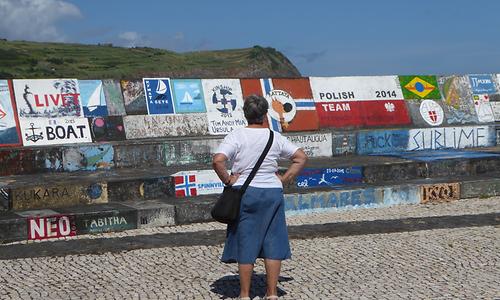
Photo: Hermann Maurer, 2016, under CC BY-SA 3.0
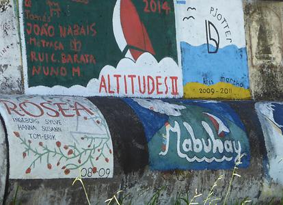
Photo: Hermann Maurer, 2016, under CC BY-SA 3.0
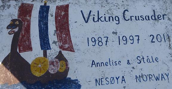
Photo: Hermann Maurer, 2016, under CC BY-SA 3.0
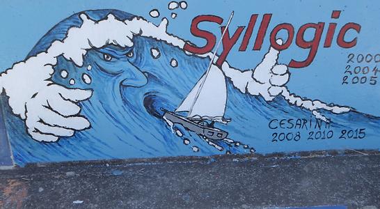
Photo: Hermann Maurer, 2016, under CC BY-SA 3.0
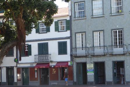
Photo: Hermann Maurer, 2016, under CC BY-SA 3.0
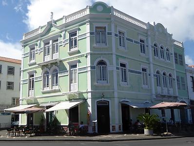
Photo: Hermann Maurer, 2016, under CC BY-SA 3.0
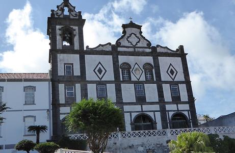
Photo: Hermann Maurer, 2016, under CC BY-SA 3.0
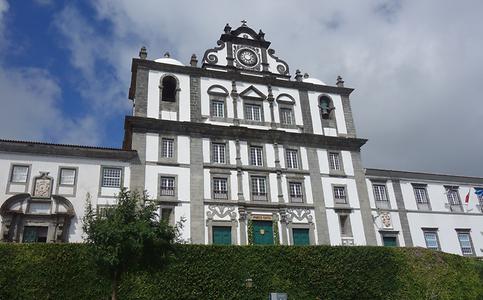
Photo: Hermann Maurer, 2016, under CC BY-SA 3.0
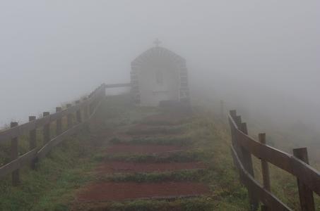
On the way we cross a mountain ridge, have a look into the big caldera of an old crater, apparently quite picturesque because of lakes in the caldera. Well, we did a few good glimpses of Horta as the bus drove upwards, but at the rim of the caldera there was only fog, so a picture from Wikipedia is substituted.
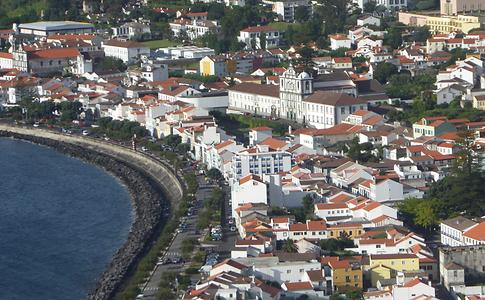
Photo: Hermann Maurer, 2016, under CC BY-SA 3.0
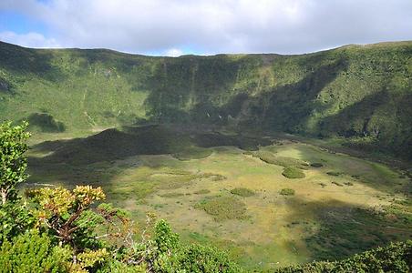
Photo: JardimBotanico. From: Wikicommons
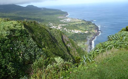
Photo: Hermann Maurer, 2016, under CC BY-SA 3.0
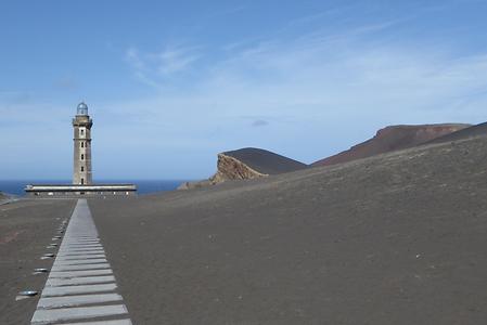
Photo: Hermann Maurer, 2016, under CC BY-SA 3.0
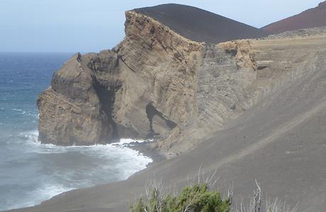
Photo: Hermann Maurer, 2016, under CC BY-SA 3.0
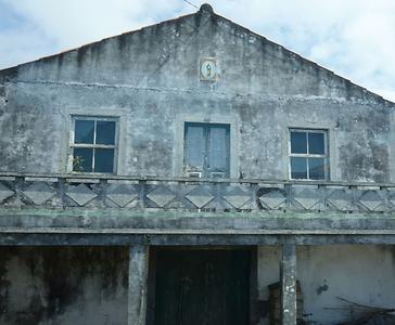
Photo: Hermann Maurer, 2016, under CC BY-SA 3.0
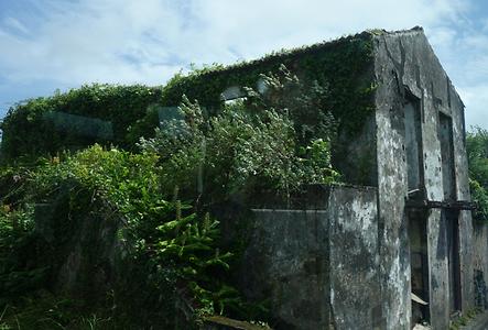
Photo: Hermann Maurer, 2016, under CC BY-SA 3.0
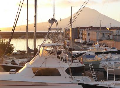
Photo: Hermann Maurer, 2016, under CC BY-SA 3.0
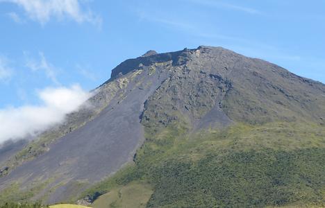
The island of Pico is known for its high volcano mountain, also with name Pico, that has created Pico as a huge island of black lava. Only at higher altitudes the island looks a bit more inviting with some lakes and meadows. However, Pico is mainly known for its wine.
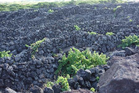
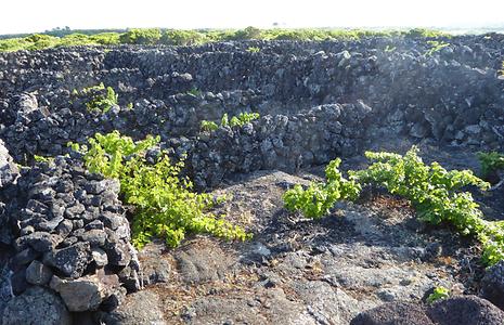
It is truly amazing how wine is grown on teh island: Small (just a few square meters in size) compartments are surrounded by lava walls, to protect the plants from cold winds and to store the heat of the day in the lava-stones. This keeps the interior warm all night. Clearly, this requires an extraordinary amount of manual labour, yet the wine grown here is of a quality that makes this worth-while.
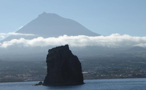
Photo: Hermann Maurer, 2016, under CC BY-SA 3.0
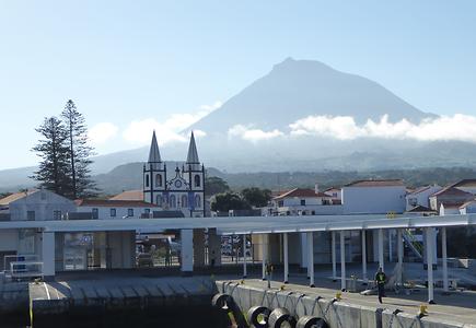
Photo: Hermann Maurer, 2016, under CC BY-SA 3.0
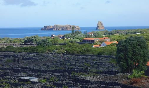
Photo: Hermann Maurer, 2016, under CC BY-SA 3.0
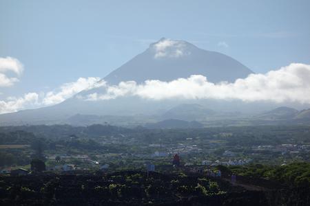
Photo: Hermann Maurer, 2016, under CC BY-SA 3.0
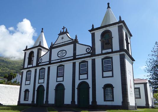
Photo: Hermann Maurer, 2016, under CC BY-SA 3.0
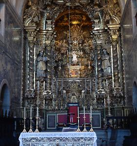
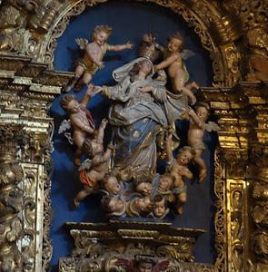
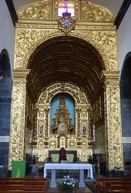
The rich golden decoration and other features (like yearly pilgrimages to the church from all over Pico) show the deep religious believe that was the kind of last straw to cling to when another earthquake or volcanic eruption destroyed much that had been built up before.
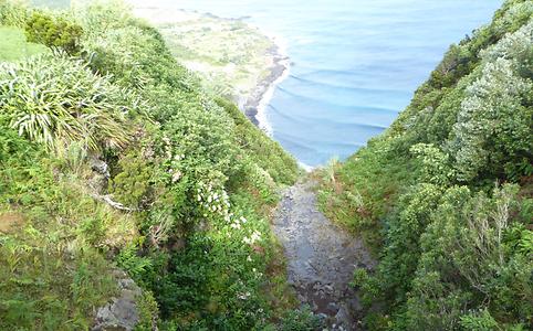
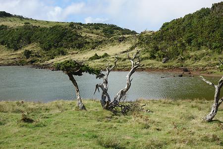
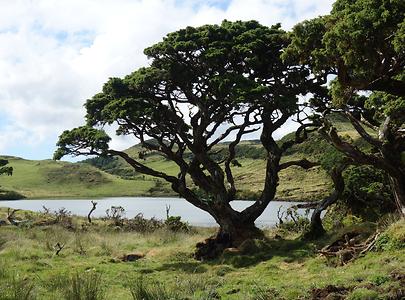
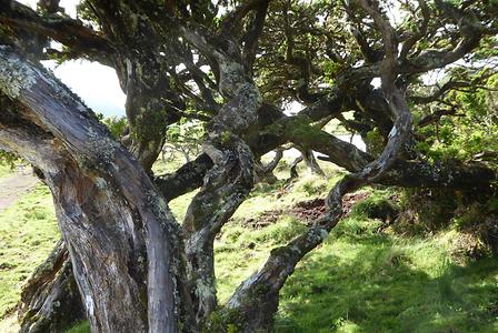
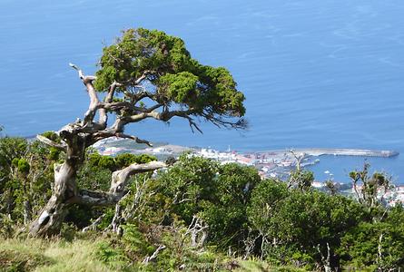
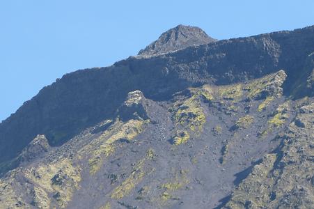
Driving higher up on the highland leads to alpine like meadows and lakes, gnarled trees and still a bit higher up a look down to the ocean, and then towards some of upper parts of Pico covered with lava ash and gravel.
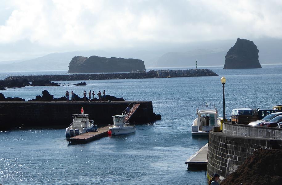
Photo: Hermann Maurer, 2016, under CC BY-SA 3.0
As beautiful the weather was this day, the clouds over Faial and the weather forecasts are sobering: The outskirts of a major hurricane are going to strike Faial later in the evening.
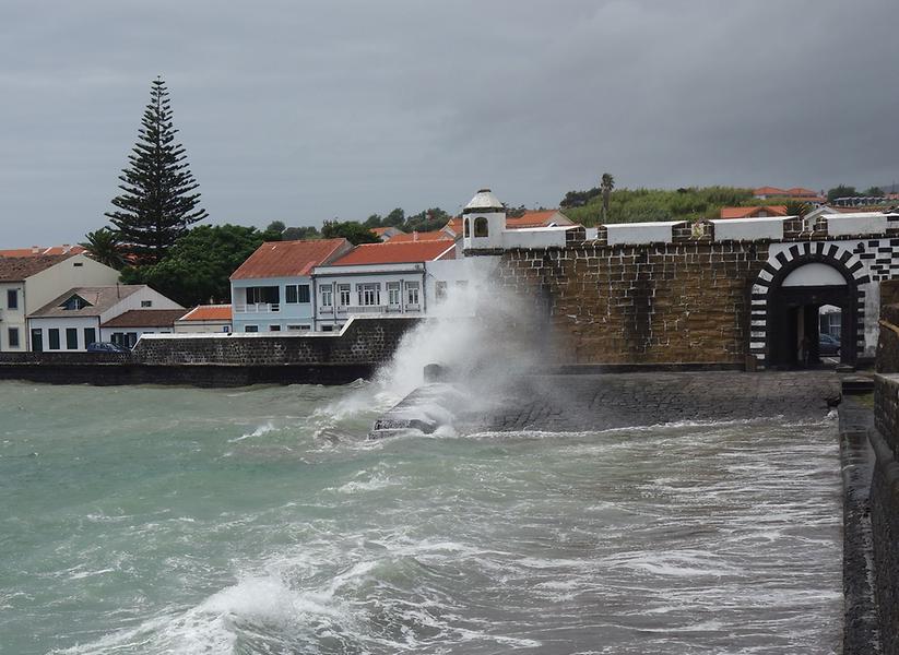
Back in Faial it is fascinating how locals are preparing for the hurricane. Boats are tied up in many ways, all outside furniture is removed, precautions are taken against full blackouts etc. A short trip to the beach shows that the prediction of 5-8 m high waves, and winds that would prevent planes from taking off do not seem exaggerated. Our flight at noon next day seems to be endagered, and we may get stuck on the island for another day.
Indeed just a bit after above image was taken we are advised to stay inside the hotel and away from large glass areas. We do feel save in the hotel, and dinner is taken as usual. But the storm is picking up by the minute, heavy rain pouring down. With some apprehension, mainly because we don’t want to be trapped for another day in the hotel, we go to bed.
In the morning, after a noisy night, it becomes clear that the worst part of the storm is over. It has done some damage, some leakages in the hotel. Whether the situation has improved enough to fly out at noon or later that day remains open. Well, we are lucky. With just 5 hours delay our plane does board and we take off for our next and final destination. Ponta Delgada on São Miguel. Indeed, we pass the peak of Mt. Pico with the weather improving remarkably fast.
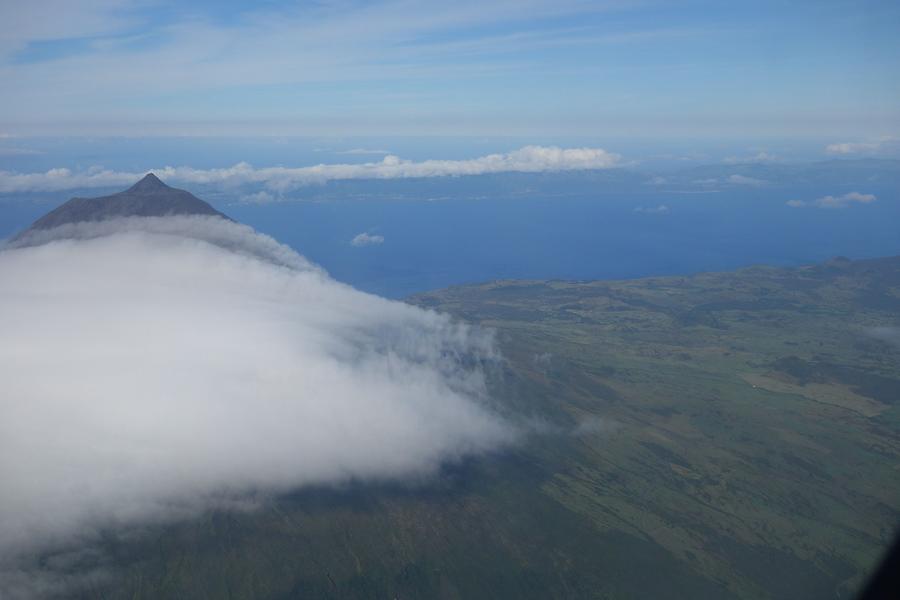
Photo: Hermann Maurer, 2016, under CC BY-SA 3.0
The next stop of the trip is the island of São Miguel, with the capital (and airport) in Ponta Delgado.
- See Azores Part 3: São Miguel
- Back to Pictures of Portugal
- Back to Special Information on Portugal
