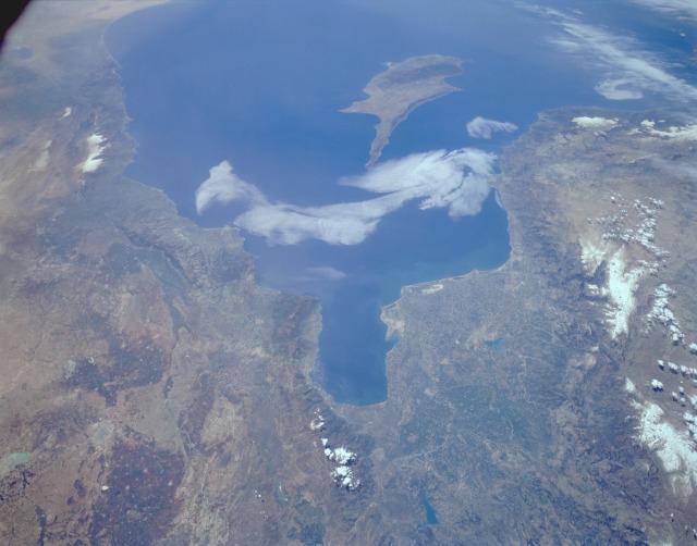
South-central Turkey #

Photo courtesy of NASA., under PD
Adana, the largest city in the region, can be seen midway between the Gulf and the Taurus Mountains to the west. The coastlines of Syria, Lebanon, and Israel are visible along the eastern Mediterranean Sea. The island of Cyprus can be seen off the Turkish and Syrian coasts.