South America #

Photo courtesy of NASA., under PD
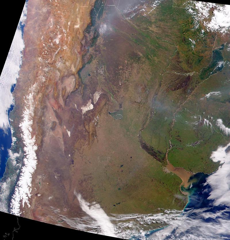
To the east, the muddy green featureless areas in the image are the vast wetlands of Paraguay (further north) and Argentina (in the south). The largest lake in this region is Lake Mar Chiquita, which sits on the western edge of these wetlands.
The two whitish tan patches between the lake and the Andes are the much smaller, snow-covered Sierra de Cordoba mountains.