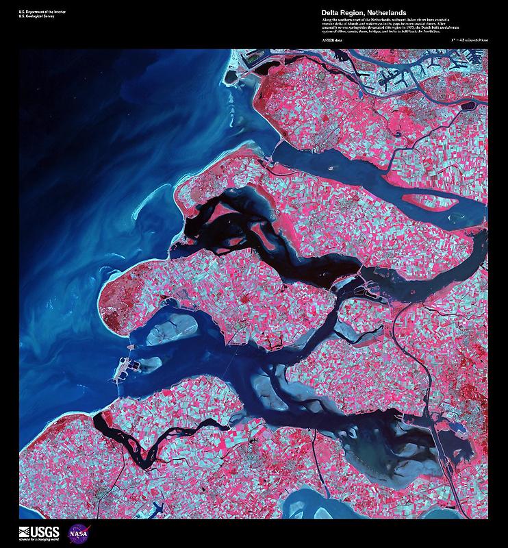
Sediment-laden river#

Image courtesy of USGS., under PD
The Dutch have built an elaborate system of dikes, canals, dams, bridges, and locks to hold back the North Sea because of rising sea levels and devastating historic floods. The Dutch coastline has changed significantly over time due to these floods, such as the 1134 storm that formed the Zeeland archipelago when water covered massive swaths of land.
Other major floods include St. Lucias Day flood in 1287, St. Elizabeths Day flood in 1421, and a massive flood in 1953 that sparked the building of the Delta works system in place today. The Delta works will be under stress in coming years as sea levels continue to rise.