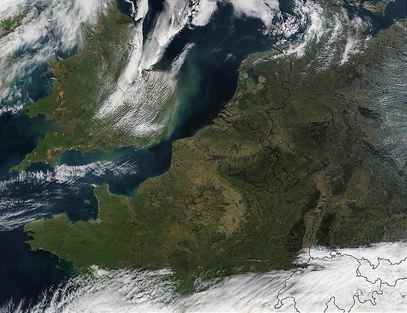
Northwest Europe#

Image courtesy of NASA., under PD
This satellite photo shows Northwest Europe. Visible are the Republic of Ireland (top leftmost), the United Kingdom (top left), France (middle left), Belgium (middle), the Netherlands (top middle), Germany (right), Denmark (top right), Luxembourg (between France, Germany, and Belgium), Switzerland (bottom middle), Italy (bottom middle), and Austria (bottom right); the latter three all cloud covered. The city of Paris is the gray area in northern France.