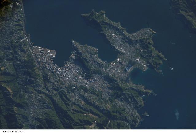
Wellington from Satellite#

Image courtesy of NASA., under PD
A view of New Zealands capital of Wellington Wellington, Neuseeland , located at the southwestern tip of North Island near the Cook Strait. The city is the second largest in New Zealand (after Auckland), and at 41 degrees south latitude, it is the southernmost capital city in the world. Five major geologic faults run through the Wellington municipality.
Recognition of the potential seismic hazard in the metropolitan area has led to the adoption of building codes to maximize structural resistance to earthquake damage. Click on photo to increase resolution.