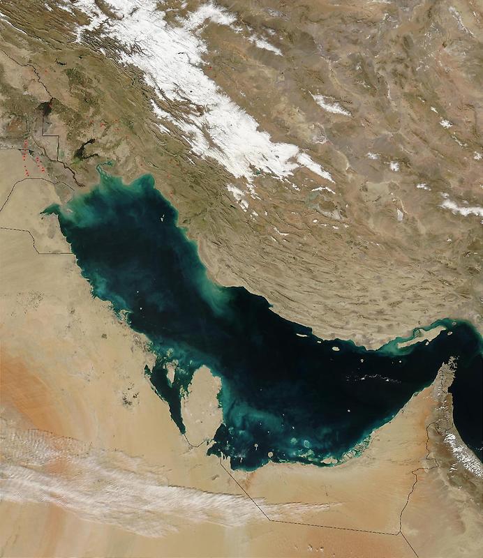
Persian Gulf#

Image courtesy of NASA., under PD
Though other rivers empty into the Persian Gulf, most of its fresh water comes from the Shatt al Arab. On the right edge of the image is the narrow Strait of Hormuz, which connects the Persian Gulf to the Arabian Sea, part of the northern Indian Ocean.
The Persian Gulf is flanked to the west by wedge-shaped Kuwait and by Saudi Arabia with its vast tan-, pink-, and white-sand deserts; to the south by Qatar, the United Arab Emirates, and Oman; and to the east by the dry mountains of Iran.
The wetlands and rivers of Mesopotamia border the Gulf on the north. The red dots mark gas flares in oil fields of Iran and Iraq.