Appalachian Mountains#

Photo courtesy of NASA., under PD
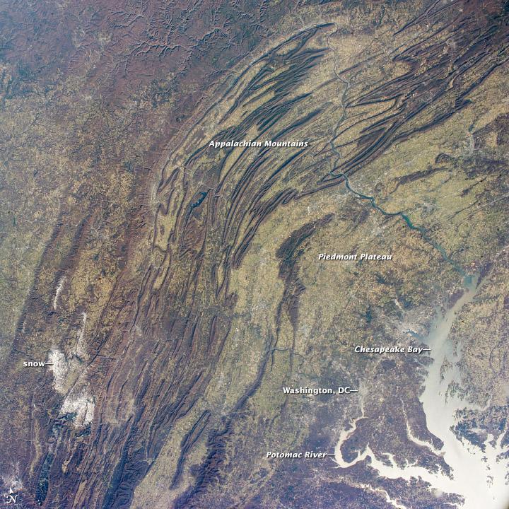
Sunglint reflections reveal details of the Chesapeake Bay and the great bend of the Potomac River. Cities are difficult to detect from space during daylight hours, so the sickle-shaped bend of the river is a good visual guide for astronauts trying to photograph the nations capital, Washington D.C.
The farm-dominated Piedmont Plateau is the light-toned area between the mountains and the bay. The Appalachian Mountains appear striped because the ridges are forested, providing a dense and dark canopy cover, while the valleys are farmed with crops that generally appear as lighter-toned areas. (Farmland is even lighter than usual in this image because the fields are fallow after the harvest.)