120ha#
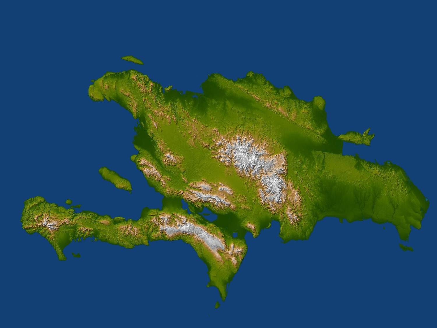
Satellite radar topographic view of the island of Hispaniola. The devastating earthquake at Port-au-Prince, Haiti, on 12 January 2010, occurred on the Enriquillo-Plantain Garden fault, visible here as a prominent linear landform immediately southwest of the city of Port-au-Prince and as a series of fault traces extending westward along the full length of the southern Tiburon Peninsula. Image courtesy of NASA/JPL/NGA., under PD