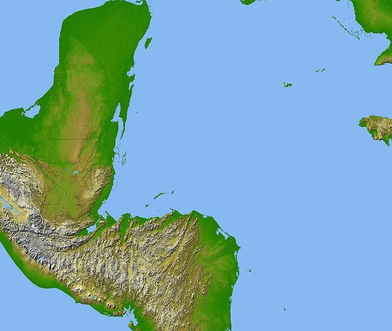
Central America, Satellite radar topography#

Image courtesy of NASA/JPL/NGA., under PD
Radars ability to penetrate clouds and make 3-D measurements allowed scientists to generate the first complete high-resolution topographic map of the entire region.
All of Guatemala, Belize, El Salvador, and Honduras are visible on this image, as well as a considerable portion of southern Mexico (the Yucatan Peninsula).